Grade de imagens Landsat Georreferenciadas - CRMN
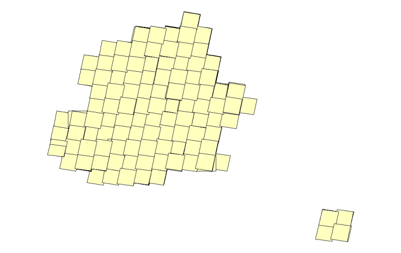
Shapefile da grade de imagens Landsat Georreferenciadas disponíveis no Centro Regional de Manaus - CRMN.
Citation proposal
. Grade de imagens Landsat Georreferenciadas - CRMN. https://panorama.sipam.gov.br/geonetwork/srv/api/records/ae4ea181-e925-4ab6-9114-025d3af6e253
Simple
- Date ( criation )
- 2011-09-07T00:00:00
- Presentation form
- Digital map
- Status
- On going
Distributor
Avenida do Turismo, 1350 Tarumã
Manaus
Amazonas
69049 - 630
Brasil
- Maintenance and update frequency
- Continual
- Keywords ( Theme )
-
-
Landsat
-
Shapefile
-
Imagem georreferenciada
-
Grade de imagens
-
- Keywords ( Place )
-
-
Amazonas
-
Resource constraints
- Access constraints
- Other restrictions
- Use constraints
- Other restrictions
- Classification
- Unclassified
- Denominator
- 100000
- Metadata language
-
por
- Character set
- UTF8
- Topic category
-
- Imagery base maps earth cover
))
- Reference system identifier
-
SAD69
- Topology level
- Abstract
- Geometric object type
- Composite
- Controlpoint Availability
- No
- Orientation parameter availability
- No
- Checkpoint Availability
- No
- Point in Pixel
-
- Center
- OnLine resource
-
grade_landsat_crmn.zip
(
WWW:DOWNLOAD-1.0-http--download
)Arquivo compactado, formato .zip Tamanho: 70 MB. Esri Shapefile, .shp.
- Hierarchy level
- Dataset
- Statement
-
Imagens Landsat, Séries 5 e 7. Sensores TM e ETM.
Resolução espacial: 30m.
gmd:MD_Metadata
- File identifier
- ae4ea181-e925-4ab6-9114-025d3af6e253 XML
- Metadata language
-
por
- Character set
- UTF8
- Date stamp
- 2025-04-02T14:19:16
- Metadata standard name
-
Perfil de Metadados Geospaciais do Brasil
- Metadata standard version
-
Novembro/2009
Author
Sistema de Proteção da Amazônia - Centro Regional de Manaus - Divisão de Sistematização de Informações
-Robson Lopes
(Analista de suporte
)Avenida do Turismo, 1350, Tarumã
Manaus
Amazonas
69049 - 630
Brasil
Overviews
Provided by
